-40%
1907 MAP OF BROOKLYN NEW YORK & REPORT OF PRESIDENT OF THE BOROUGH OF BROOKLYN
$ 39.6
- Description
- Size Guide
Description
We are offering the book"Report of the President of the Borough of Brooklyn 1907".
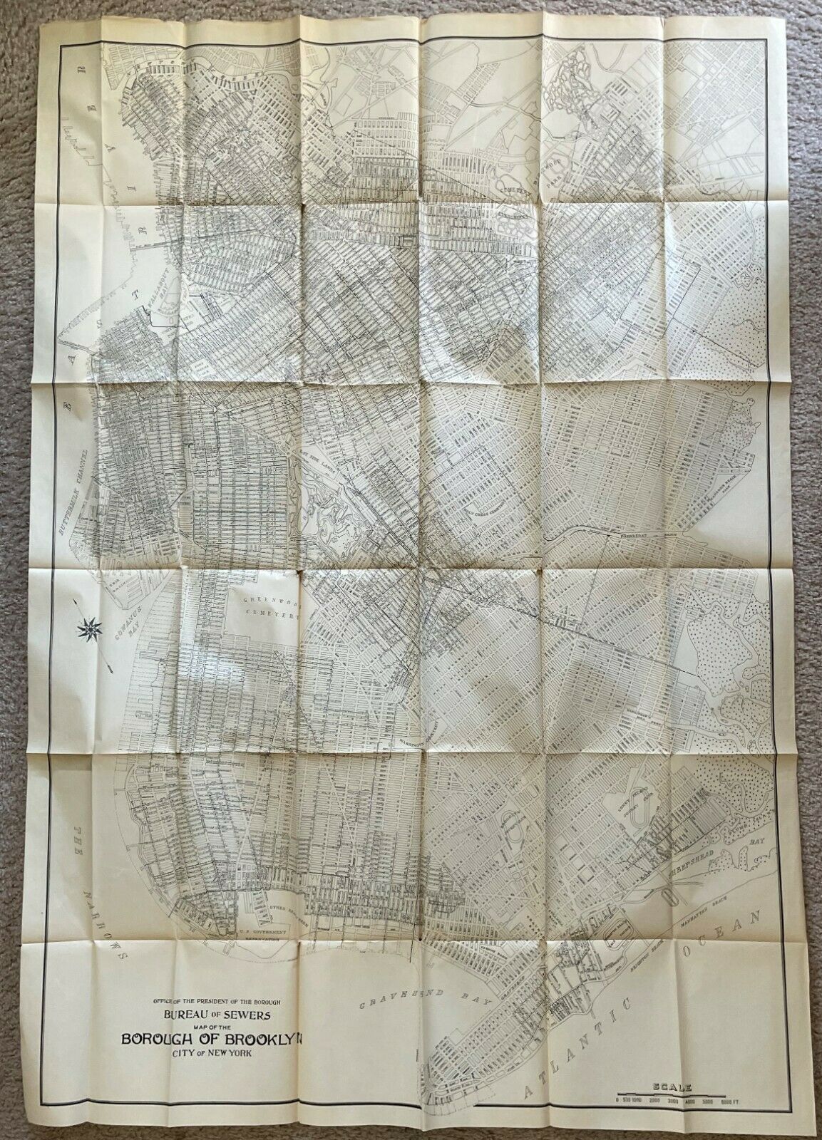
Annual Report for the Year Ending December 31, 1907. 7" x 10 1/4". 568 pages. Included in this book is a 39" x 55" Map of Brooklyn by the Bureau of Sewers. This map was part of the president's report, and was folded and placed inside a "pocket" at the back of the book.
The map includes Coney Island; Brighton Beach Horse Race Course; Brooklyn Jockey Club; Coney Island Jockey Club; U.S. Government Reservation, all the bays and channels, and, of course, every street in every section of Brooklyn.
We are not sure exactly what the U.S. Government Reservation was. Was it a Native American reservation?
There were Native American tribes living in Brooklyn in Gravesend and Canarsie including the Lenape Tribe, part of the Delaware Nation, that lived in what later became Kings and Queens counties.
The report begins with a 5-page address from the Borough of Brooklyn President, Bird S. Coler, to the Mayor of New York City, George B. McClellan.
The report covers the business and transactions of the borough for 1907, which is broken down into three sections by the departments responsible for overseeing the business of the borough.
Section I
- The Borough President's Office;
Section II
- Department of Public Works, under which was the Bureau of Contracts, Bureau of Highways, Bureau of Sewers, Topographical Bureau, Bureau of Public Buildings, and Office of the General Bookkeeper; and
Section III
- Department of Buildings which coordinated with all the Bureaus of the other Departments.
This report accounts for the cost of every type of item purchased, down to the smallest item, and for every type of service provided for and paid for by the Borough of Brooklyn. There is an incredible amount of information on these 568 pages including many charts, graphs and photos. There is a drawing of the Greene Avenue Main Relief Sewer Overflowing [flooding the streets] at 4th & St. Mark's Avenue during the storm of June 29, 1903.
CONDITION: The map is in Excellent Condition, with a couple of splits at the folds. The pages of the book are in Excellent Condition. There is some wear to the front cover, a stain on the back cover, corner bumps on the covers, and a little wear to the spine including the top and bottom edges. A repair has been made along the first blank page were it attaches to the cover as it had loosened.


